Sacre Coeur/Montmartre
Modelling the Cathedral of Sacre Coeur turned out to be quite ambitious due to elevation issues.
The cathedral is located on top of a hill (Montmartre), and there's a system of stairs leading upwards. Those stairs seem to be a popular meeting place for young people (in fact they're partying on the stairs almost every evening during summer months). So to me those stairs are an important part of Sacre Coeur itself, and I decided to integrate them.
By including those stairs I thought about working with accurate elevation data - at least the stairs should "make sense" ;-). Unfortunately I didn't trust in the OSM/SRTM data too much here.
I was lucky puzzling along a website called Géoportail. It's run by French Gouvernment (precisely speaking the Institut national de l’information géographique et forestière IGN), offers a lot of (French) Geo informations, and I thought these informations being much more accurate than the SRTM data.
I started by adding the stairs to OSM Sacre Coeur by at the same time respecting IGN elevation data:

This primitive model combined with my original terrain doesn't fit - as expected. The "SRTM-Montmartre" seems to be too low:

Instead of manipulating the original OSM terrain I thought it'd be easier to replace it.
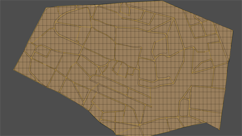
The original OSM stuff follows a simple grid structure which of course should be kept horizontally:

...having some additional lines defining streets and city blocks.
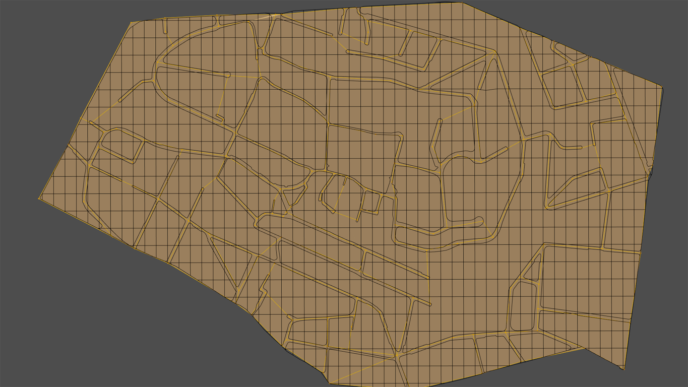
So next step was duplicating the relevant region and cutting out the road system. Because the original elevation wasn't needed anymore I scaled it to Z=0:

I planned to grab IGN elevation data for each road junction and some additional points. Originally I thought about using Proportional editing to get some smooth landscape, but feared that some points might be influenced by others in some unwanted ways. So I added another plane (Ngon), having each vertex set at those locations I'd like to grab the elevation data:
Next step was working through all those verts, lifting and declining them due to the official IGN elevation data. Should give me some quite strange, non-planar mesh I planned to use as base and skrinkwrap my terrain onto it:

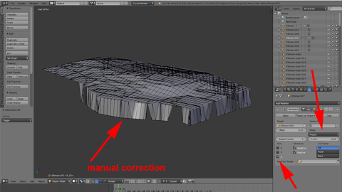
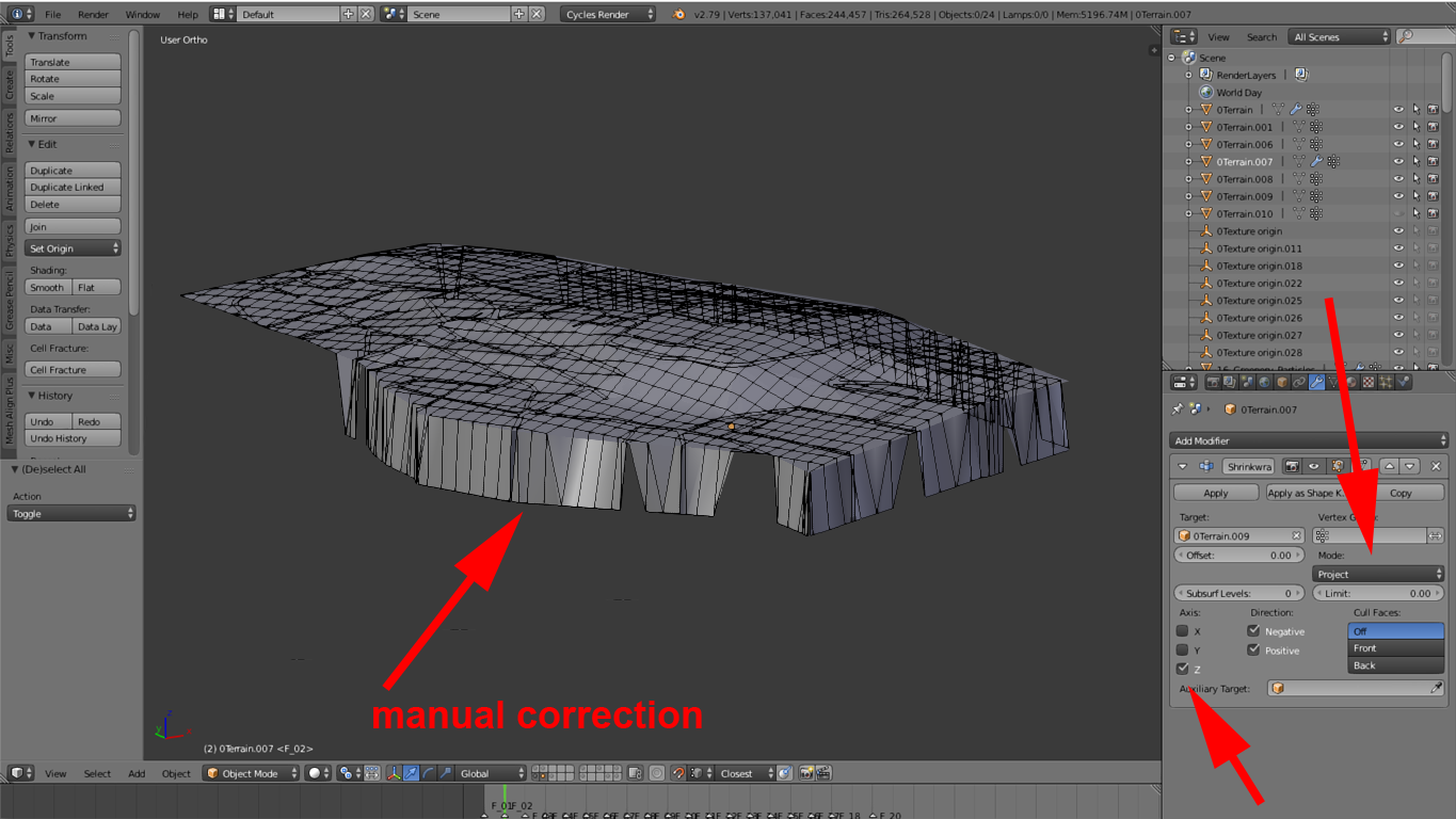
Shrinkwrap modifier will need some geometry to work with, so I triangulated the whole mesh and afterwards subdivided multiple times.
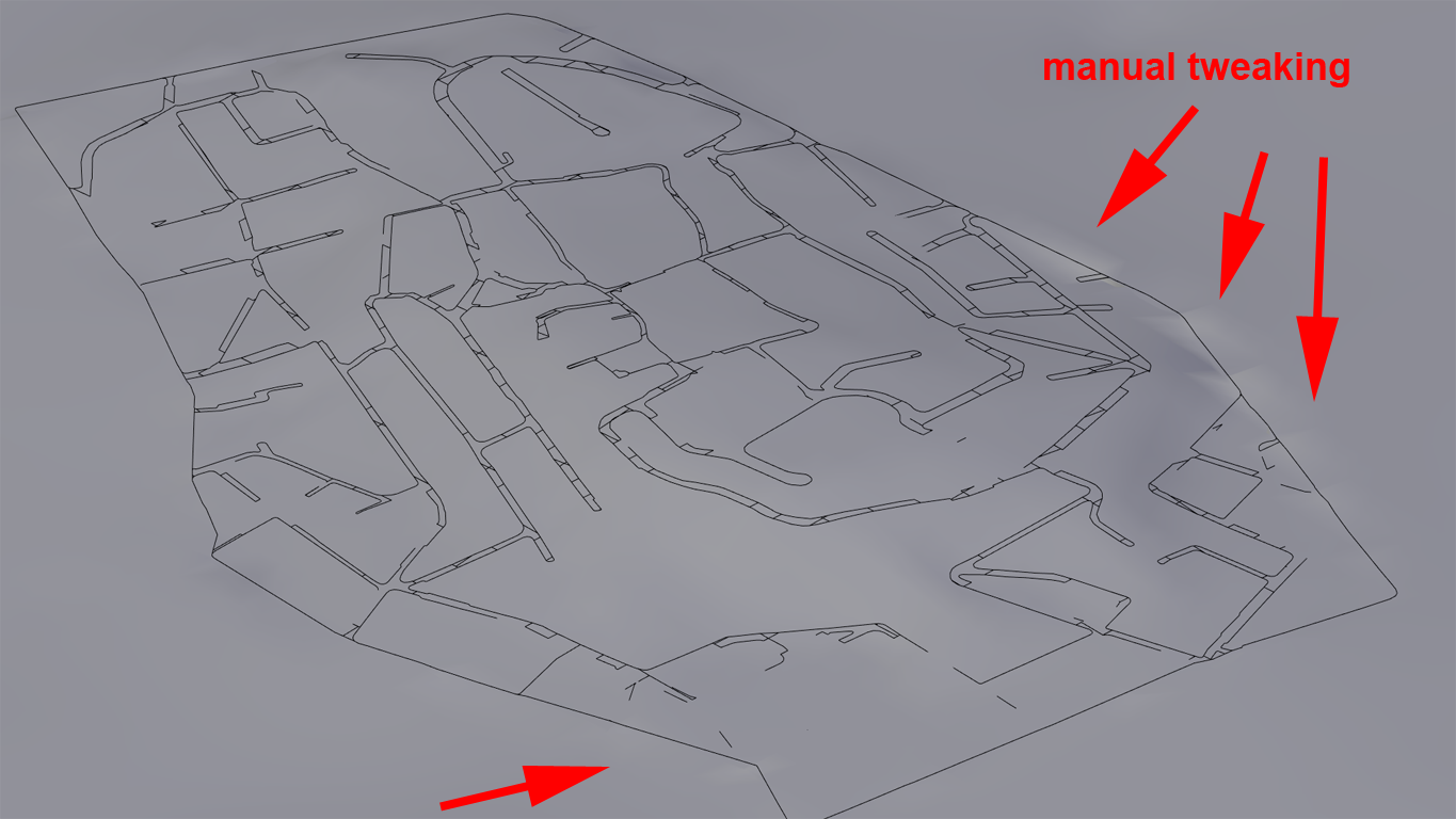
I used Shrinkwrap modifier in Projection mode having Z defined as direction. Due to my terrain mesh being a little larger than the base mesh I had to correct the outline manually. Using "Nearest surface point" as shrinkwrapping mode would have avoided this but at the same time would have manipulated my verts in X and Y direction as well, which surely wasn't what I wanted:
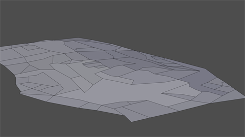
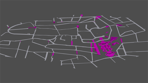
Then I separated the roads from the cityblock areas.
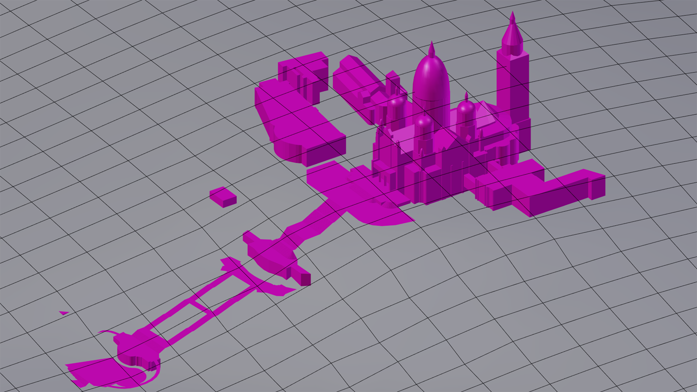
My idea was creating a halfway accurate "lattice" of streets and stairs (besides the Cathedral itself Montmartre includes lots of stairways linking between streets, and I thought it would be charming having them integrated):
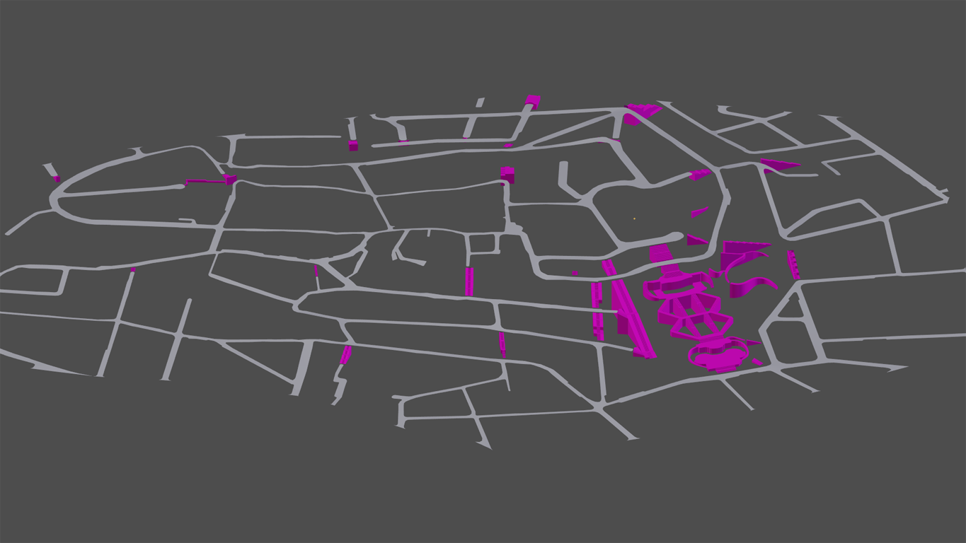

Finally the OSM houses could be added (for the moment I'm using the simple ones of the addon's free version):
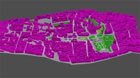

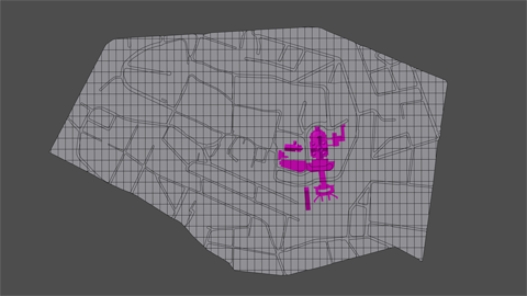
Integrating this separate part of Paris into my model turned out to be a little tricky - of course I wanted to have smooth transitions. I solved the problem by the use of (again) Shrinkwrap modifier, afterwards smoothed out the borders manually:

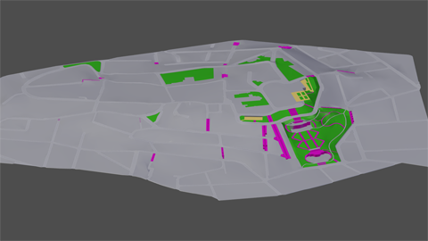
... finally cut out the whole region (some spots are below the surrounding elevation levels, and I didn't want them to collide). Result:

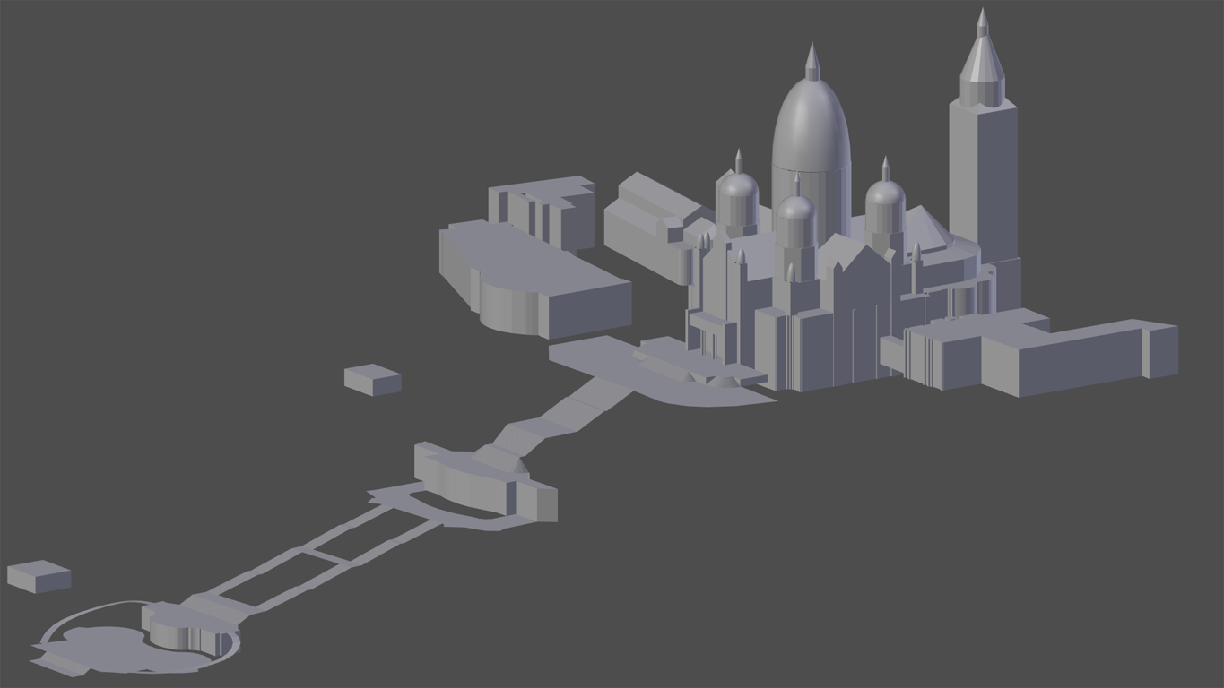
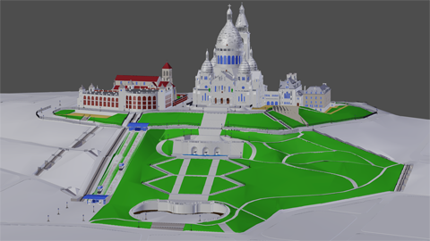
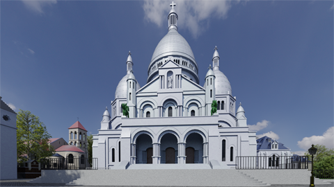
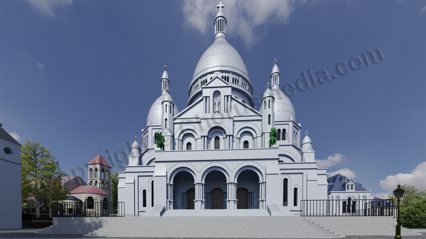
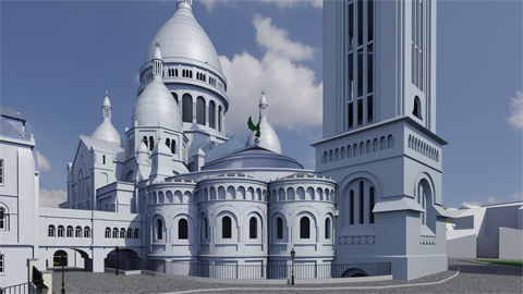
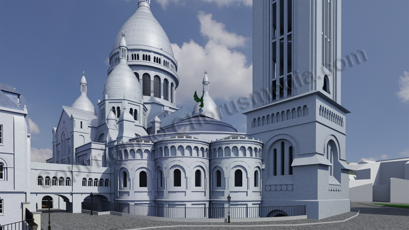
I won't describe the modelling of the Cathedral itself here - it was just the same than I did before...
Only thing worth mentioning: I was quite insecure about the Cathedral's altitude. Felt quite happy as I found a kind of historical plan that should give me correct proportions. Unfortunately I had to find out later that this plan wasn't accurate at all. So I was forced to model from scratch, using an inaccurate basic model. Of course I did my very best but can't guarantee for correctness. Therefor I did some renders using camera settings as every tourist does in real life (see below). I'm proud to say that I'm quite convinced by the result...
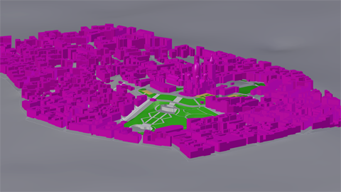
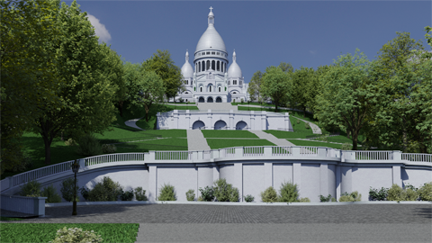
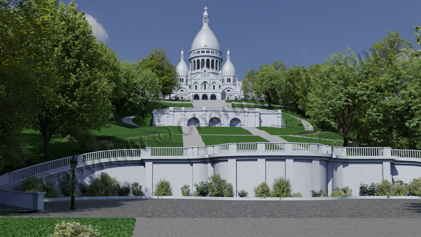
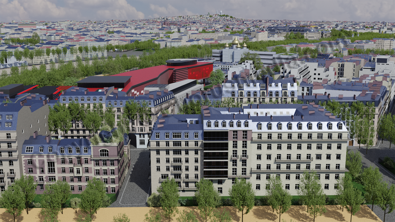
And I included some few additional buildings next to the Cathedral itself. So have a look at the ensemble:

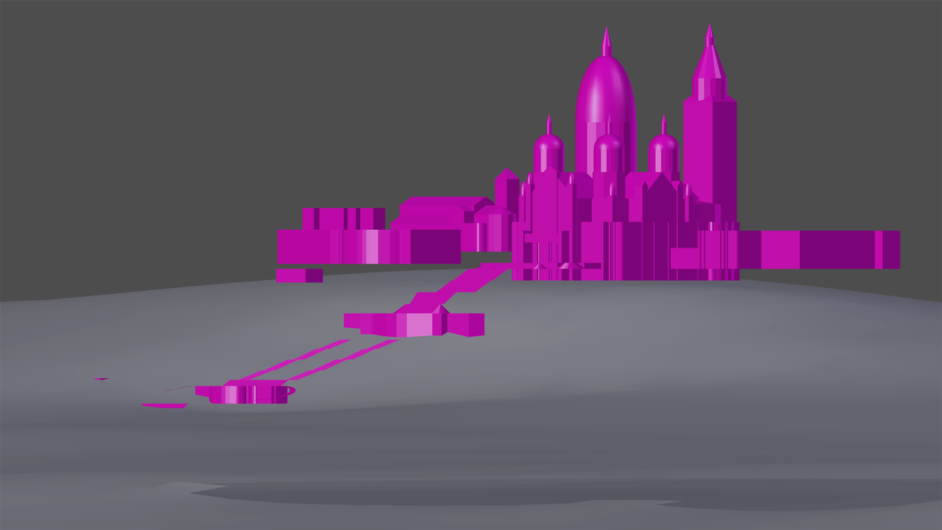
Again let's have some renders:
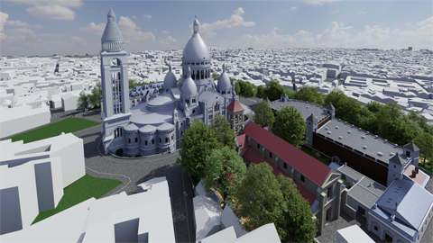
I was fascinated to discover some small detail: there's a funicular leading almost directly to Sacre Coeur. Have a look:
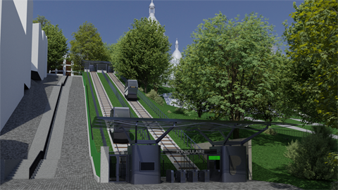
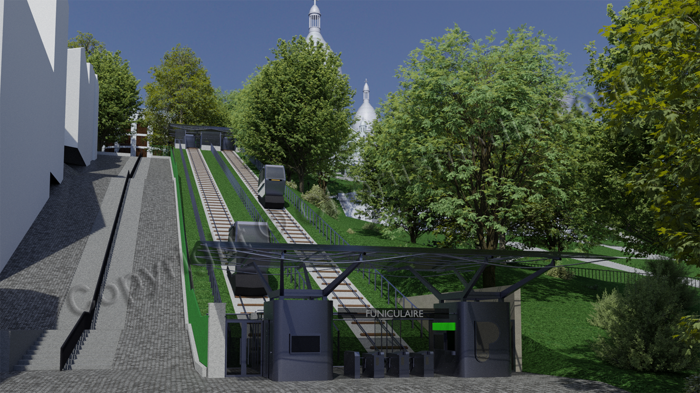
I visited Paris as a tourist several years ago and surely didn't know about this... we climbed the stairs by foot, and reaching the hilltop we had been totally served. Of course having enjoyed lots of French red wine before didn't really help ;-)
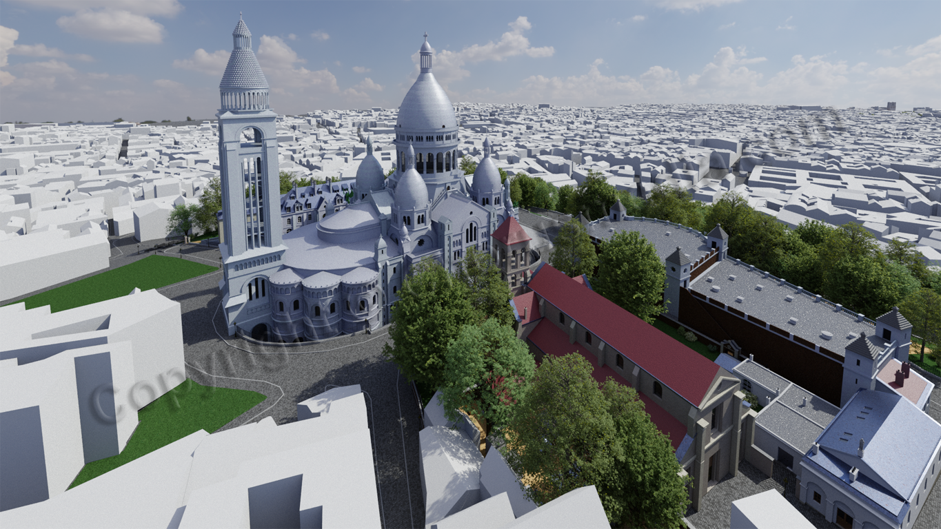
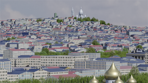
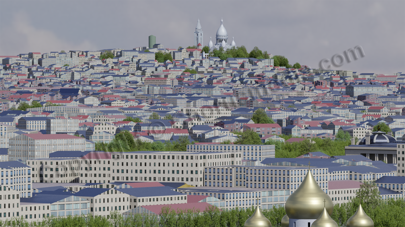
From Eiffel Tower's first floor Montmartre looks like this:

Might not be the absolute game changer, but being a well-known element it surely helps to define the Paris skyline.
And I did another render with same camera position, but zoomed in - just if you'd watch Montmartre through some telescope (you might remember me having some thoughts in this direction):
Honestly speaking I'm not absolutely convinced. The camera is still far too distanced to show Sacre Coeurs lovely details, but at the same time the schematized OSM houses are dragged into foreground. I think the above shown clay renders do a better job to present the Cathedral...