The better landscape #2
Downloading the data for the new area took me some time. Of course the area is huge, containing millions of houses and trees. And I didn't want to block the servers for hours or even days, so I did it in parts, distributed over several weeks.
That's the new terrain (notice the magenta-colored houses and buildings from the addon's free version; although I downloaded a textured version as well):
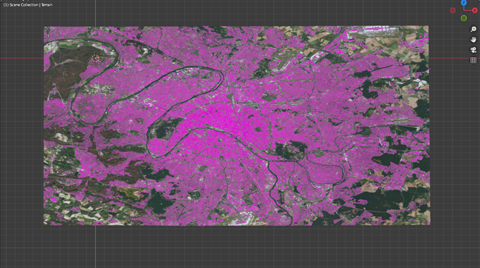
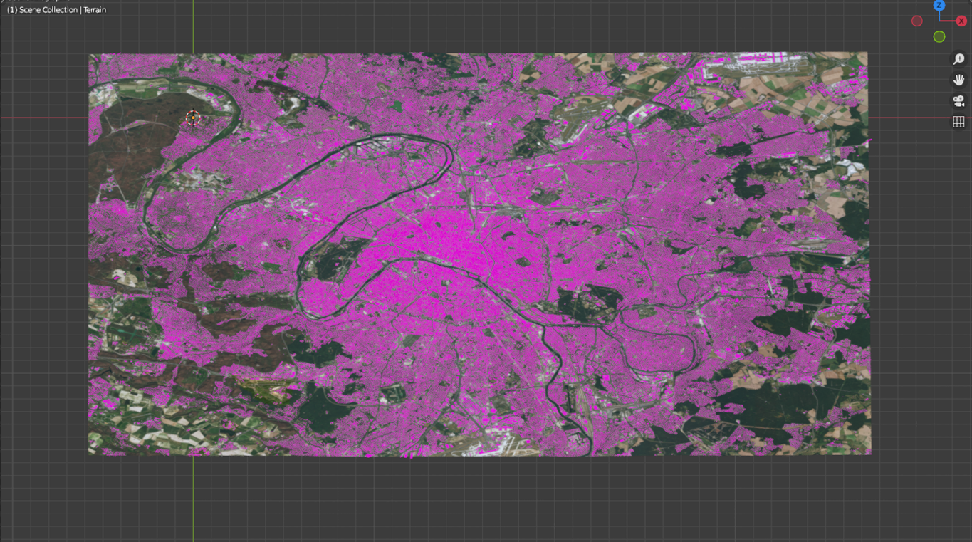
Filesize is nearly 3 GB; just the terrain (plane) consists of 2,17 Million vertices. Too much to work comfortable...
I stored the complete material on my harddisc, planning to isolate smaller areas for working process, enlarging them as needed.
First step was adding a Smooth Modifier to eliminate all the tiny bumps.
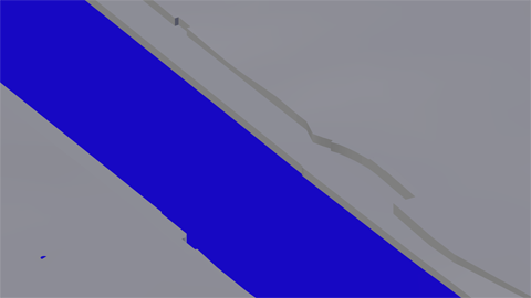
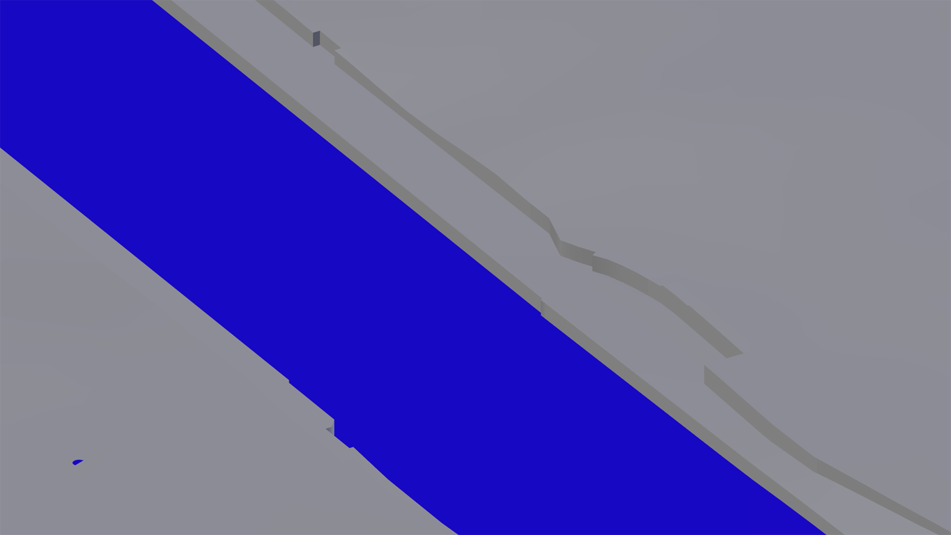
Next I decided to model the waterfront. Therefor I isolated a small area along the rivers Seine and Marne (extensive use of vertex groups should help to puzzle parts together in the end). Cut the plane along the riverbanks, extruded downward and scaled Z=0.
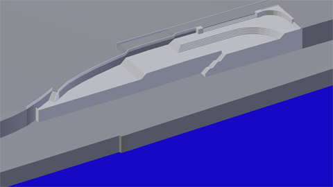
And defined some areas along the border to picture the so called "Quais de Paris" being locations for cultural and leisure life:
Modelling stairs and ramps as linking elements:

Again I used vertex groups to exclude the borders from being smoothed by the modifier.
Although I decided to concentrate on Inner Paris and ignore the outskirts I think my model is slowly becoming quite charming...
Let's have a look at some bridges next.