The Blender-OSM addon
The addon (get it here) is avaiable in a free and a premium version. Use it to download OpenStreetmap/SRTM data to given coordinates, and it'll automatically create meshes from the data.
The addon works with Blender 2.8+, so I was forced to update. Anyway I decided to continue working with Blender 2.79 as far as possible - I did some experiments with Blender 2.8 and 2.9 in the past but really missed the familiar 2.79 fingering and shortcuts...
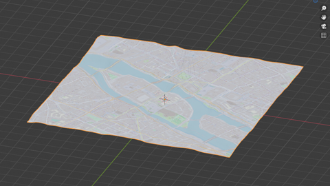
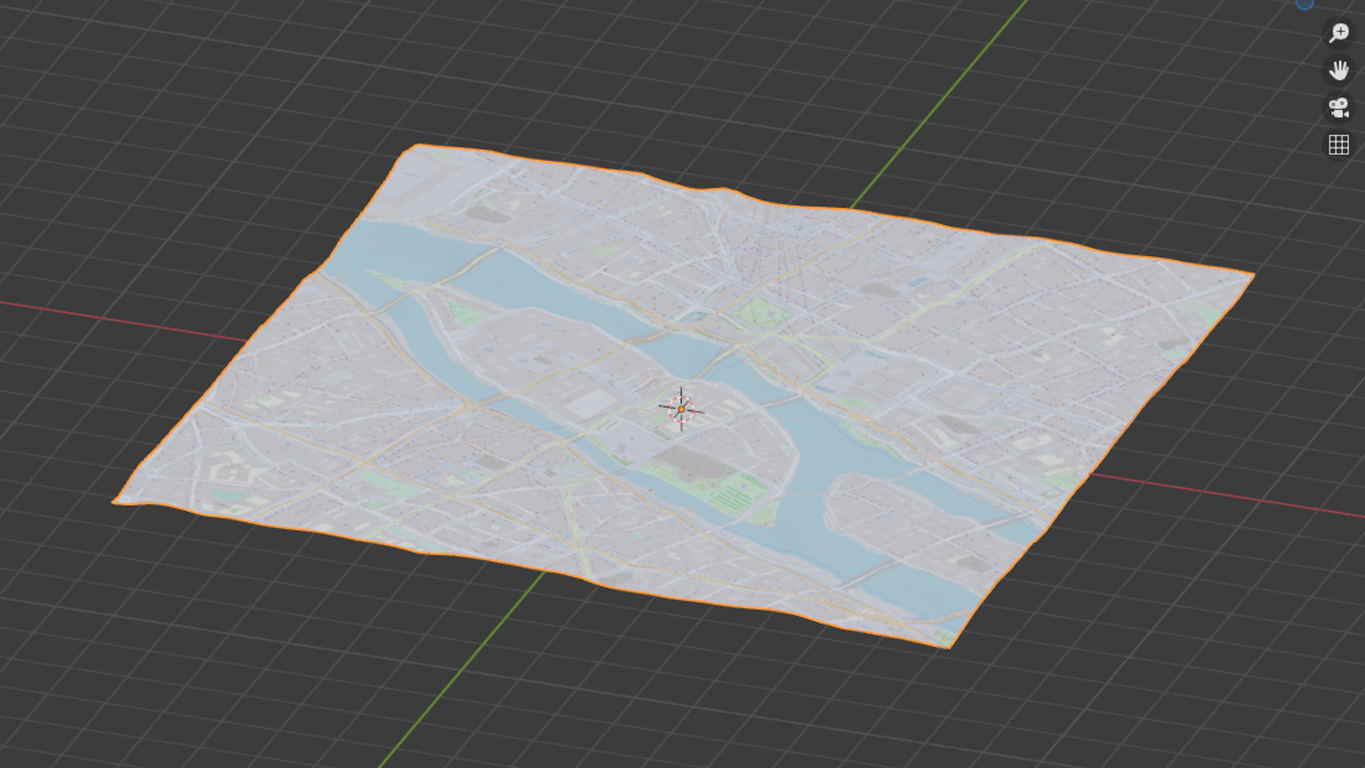
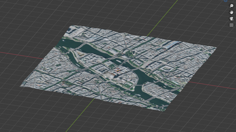
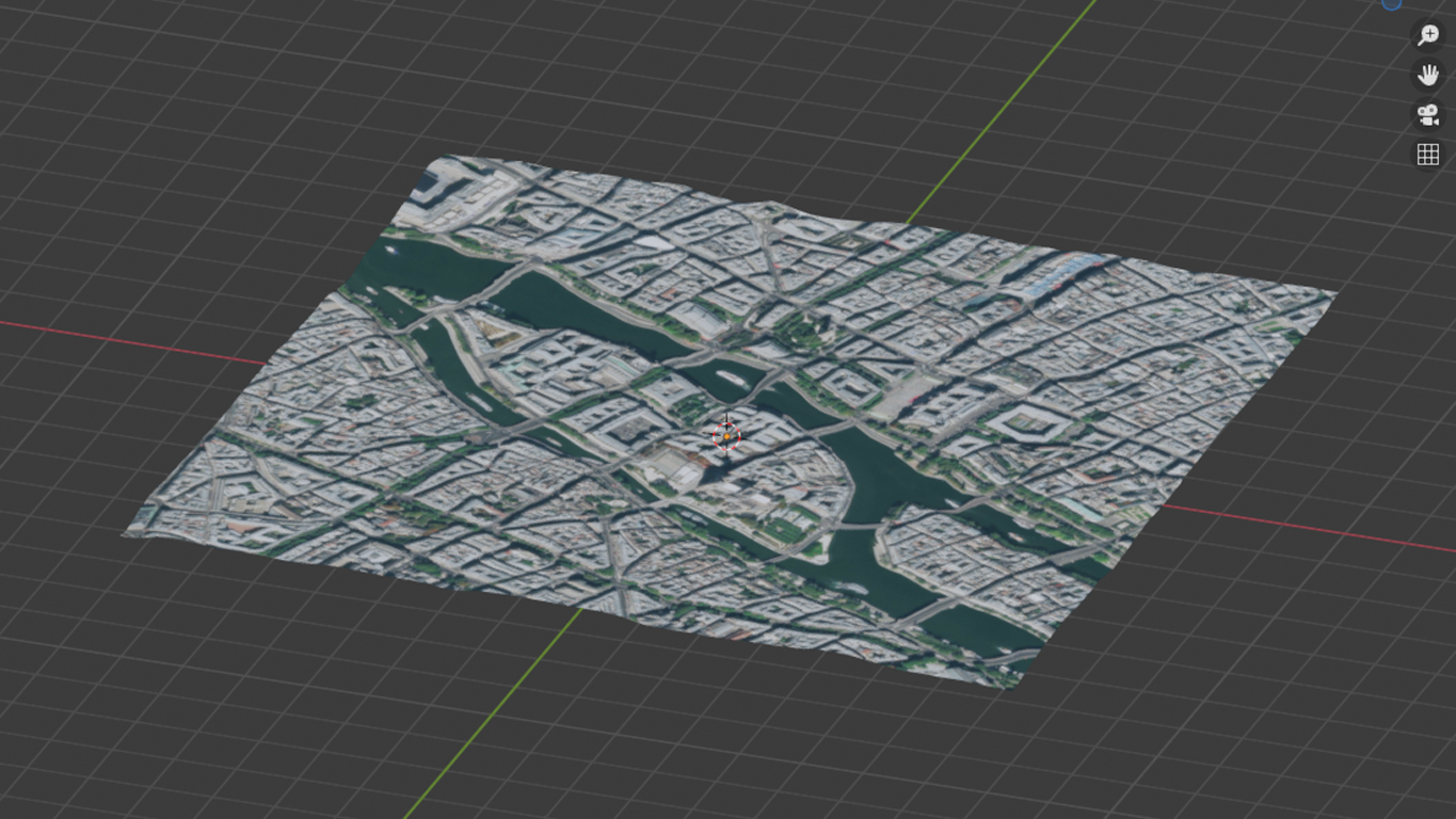
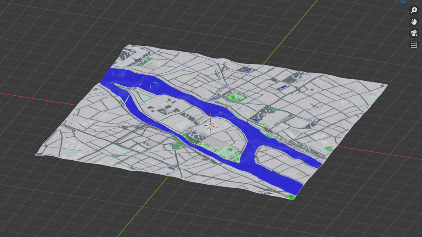
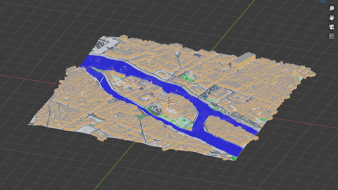
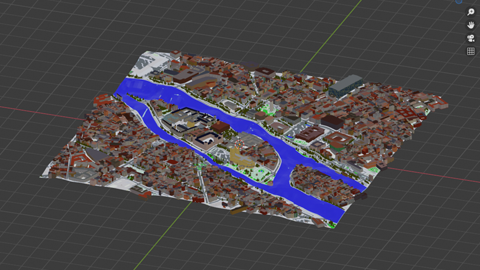
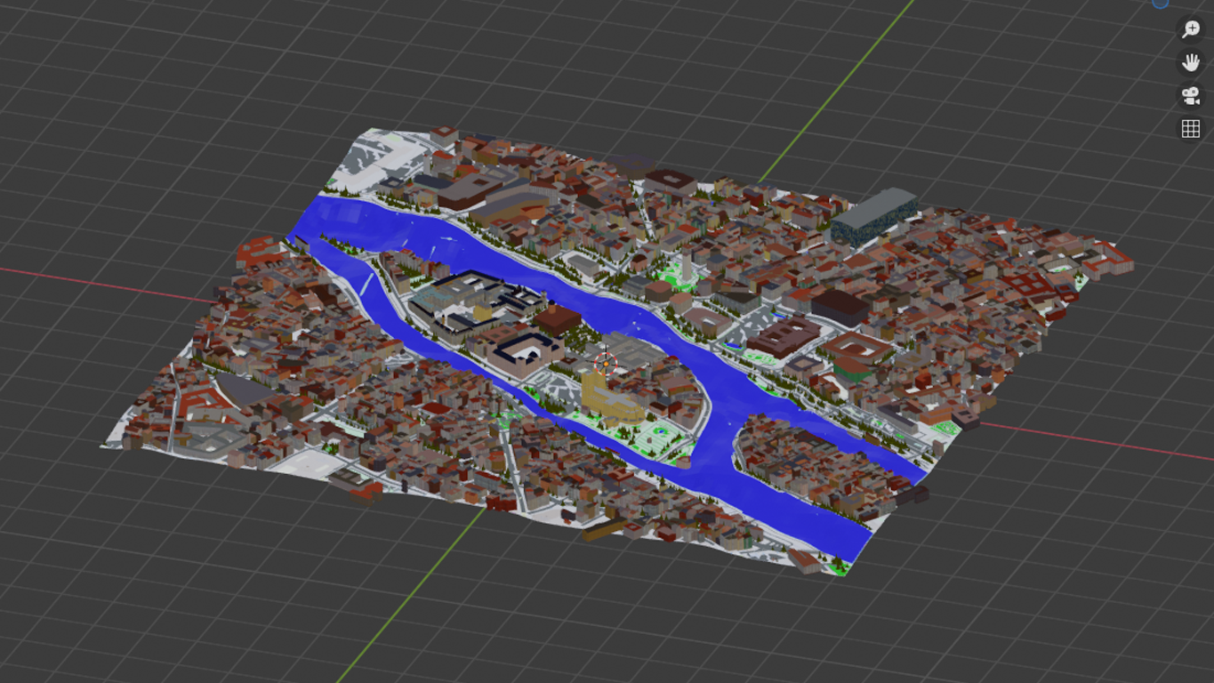
Let me illustrate the addon: starting with the free version, creating a small area of Inner Paris including the cathedral Notre Dame:

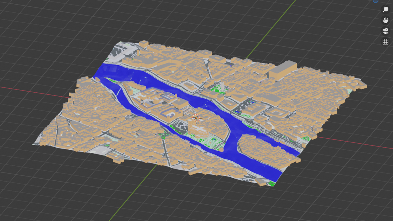
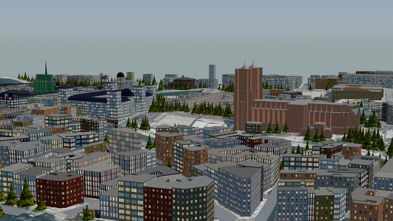
Let me have a few words about the premium version as well: it can be purchased for just a few bucks (I guess you'll spend more money by inviting your girlfriend/boyfriend for lunch once). Main difference is that buildings come along with textures. And you may download trees as well (the addon uses one default low poly christmas tree shape):

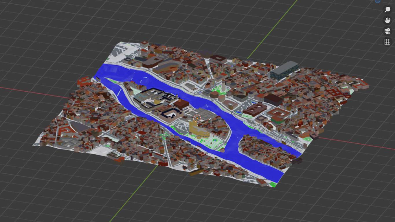
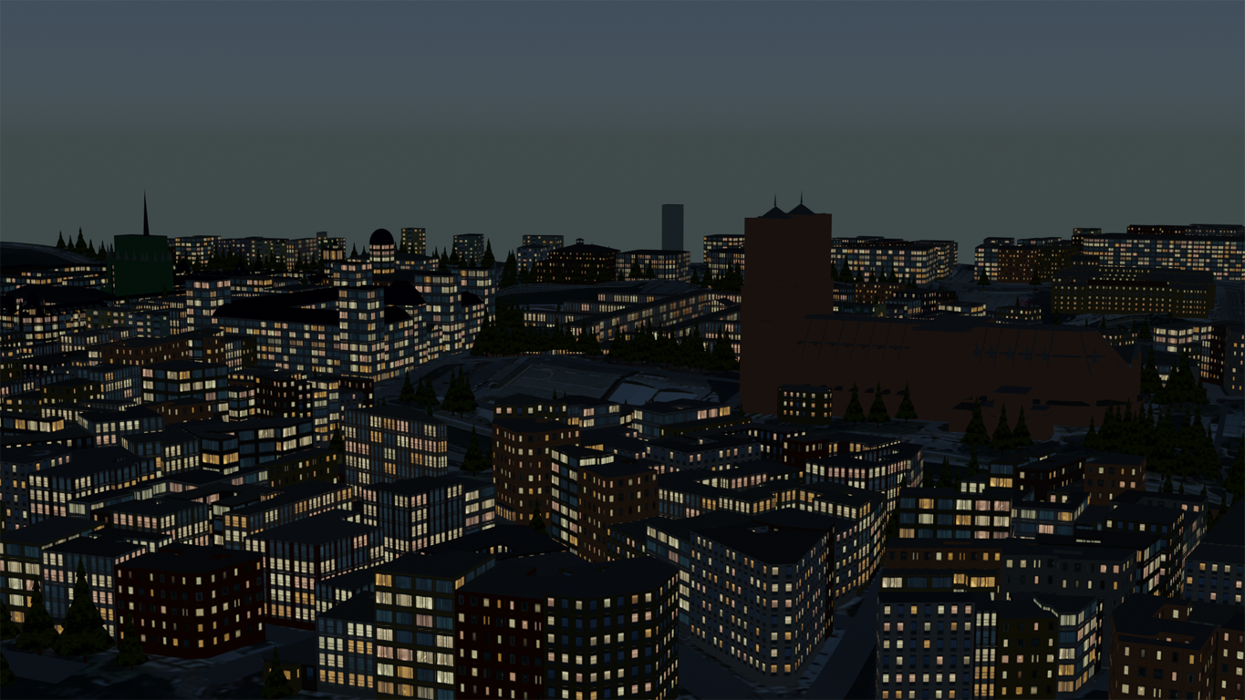
And it includes a really charming small feature called "Lit windows" which enables you to do night scenes:


It has taken me about ten minutes to download the data, set up this little scenery and do the renders...
There are just two small points I don't like too much:
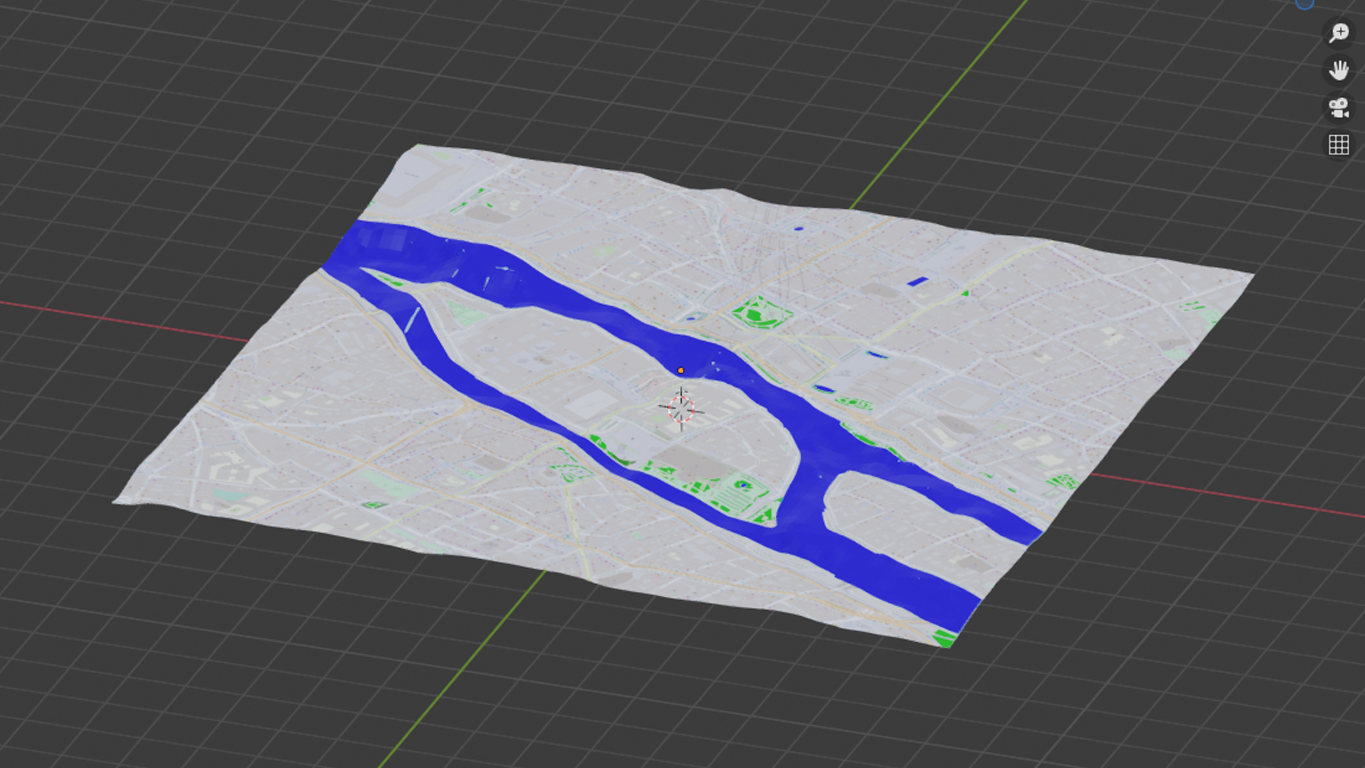
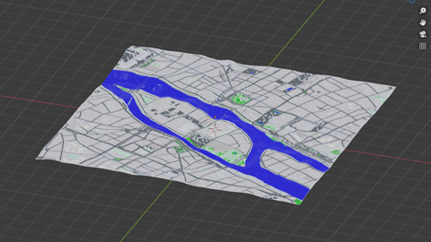
First to say is that areas for grass, forests, water a.s.o. are simple planes, subdivided and shrinkwrapped onto the surface. Generally speaking I think it's a smart idea to have forests or grass areas being seperate meshes (should make it quite easy to work with particles e.g.), but unfortunately it doesn't fit to the way water behaves. Of course it's a handy method which should give convincing results as far as background is concerned, but I guess I'll have to do some manual work to define the rivers Seine and Marne.
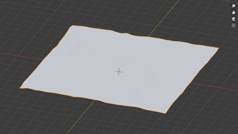
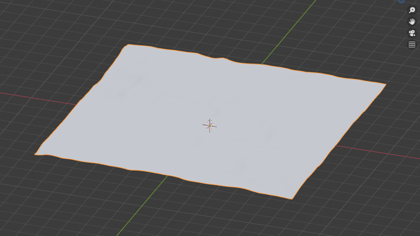
Second point is that I think the SRTM data is not too good. It defines an elevation point every 30 meters which of course isn't extremely detailled. And of course the scanner wasn't able to eliminate e.g. buildings from the elevation data. As far as I know the data was interpolated afterwards to eliminate at least some artifacts.
As an example: This is the SRTM version of the Champ de Mars (Eiffel Tower's location):
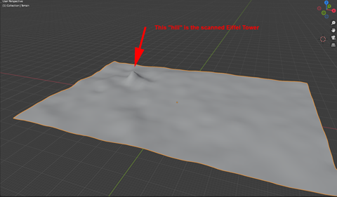

Anyway, it's the best data being avaiable for good, so there's no reason to moan. I decided to trust in the stuff, use it and do some smaller corrections from time to time...
End of advertising block ;-)