The landscape
My first idea was defining a small area having the Eiffel Tower at its center, including the Champ de Mars, being defined by the Ecole Militaire at one end, the Trocadero at the other end and including some few city blocks:
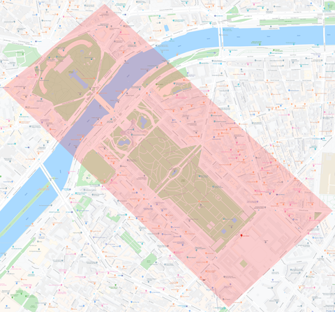

But after short time I puzzled along a building called "Grand Palais" which I really adored and urgently wanted to integrate, but of course it wasn't included in the defined area. To prevent me from enlargening my area again and again I decided to restart and create a landscape for whole Paris - regardless if I would need it.
I thought it might be a good idea to use some hillshading... I grabbed the tiles from OpenStreetmap, put them together and used the result as texture in Displacement modifier:

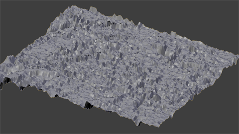
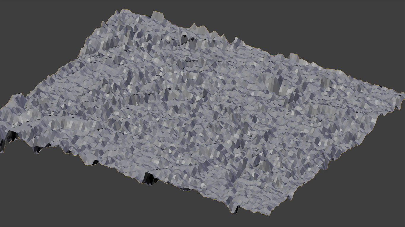
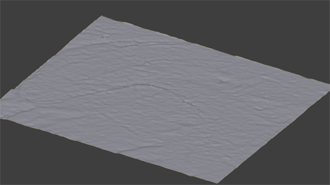

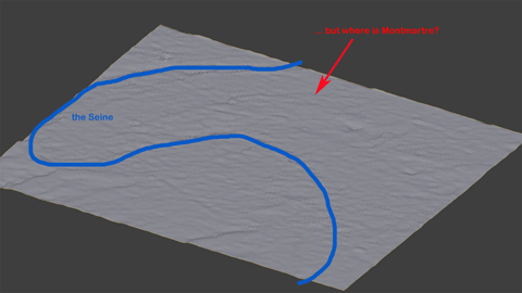
Honestly speaking I didn't like the result. I was somehow able to identify the River Seine but missed a lot of other things, e.g. the hills Montmartre, Belleville a.s.o... Didn't look like Paris to me.
On the other hand it looked way too detailled, showing hundreds of tiny bumps which surely would drive me nuts placing houses there...

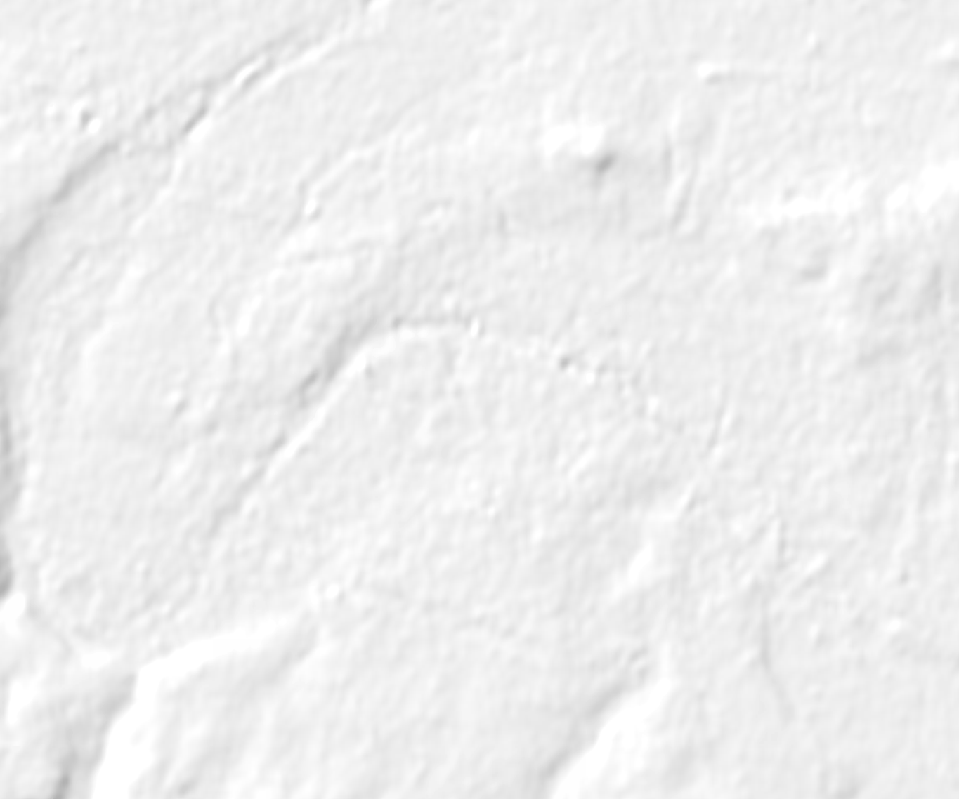
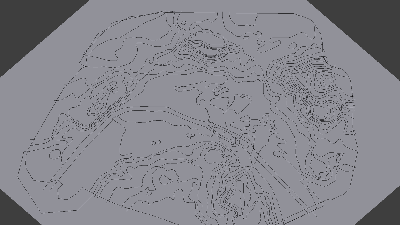
I decided to work with height lines instead of hillshading. Found a useful graphic here which I took as a background image.
Created edges following those height lines and used them to cut a subdivided plane:

(As a hint for Blender users: this is basic knowledge, so I won't describe it here too extensive. In the former times I would have used Knife Project, but for this purpose it wasn't precise enough. Extruding the edges in Z direction and using Boolean difference and Boolean intersection instead gave me a perfect result.
If this is too short for you, just leave a post...)
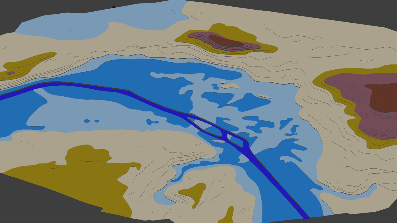
Lifting the parts gave me a kind of "Paris terrace model" (colors represent elevation):

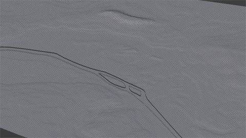
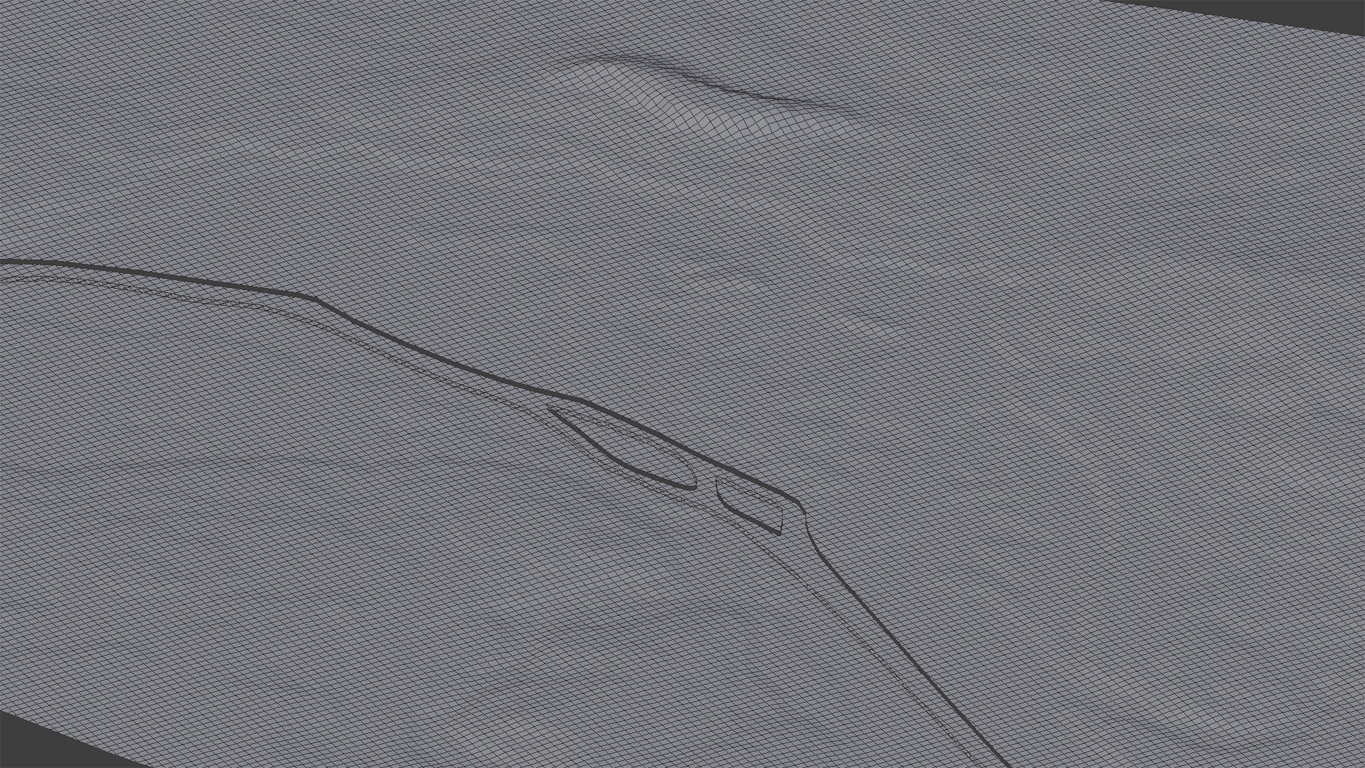
Next steps quite short: Join, close gaps by bridging (due to the use of Boolean modifier the "terrace borders" could be easily selected as edge loops), remove terrace steps (Select similar edges by vertical direction, scale Z=0 with individual origins as pivot). Then height lines could be removed (first remove all doubles, then select edge loop, delete / dissolve edges), and the result will be a smooth landscape with perfect geometry:
After defining some first areas for grass, sand and water I had this (including a first Eiffel Tower dummy):

(You may recognize the hole in the landscape next to the Tower dummy: that's where the Trocadero is located. In 1936 they didn't only replace the former building but as well re-structured the whole surrounding. Just to keep me free in decisions I left some blank space.)
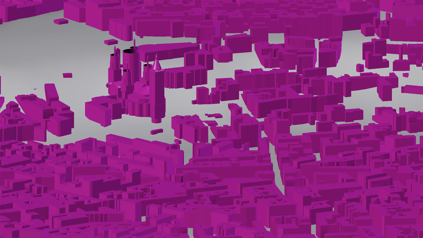
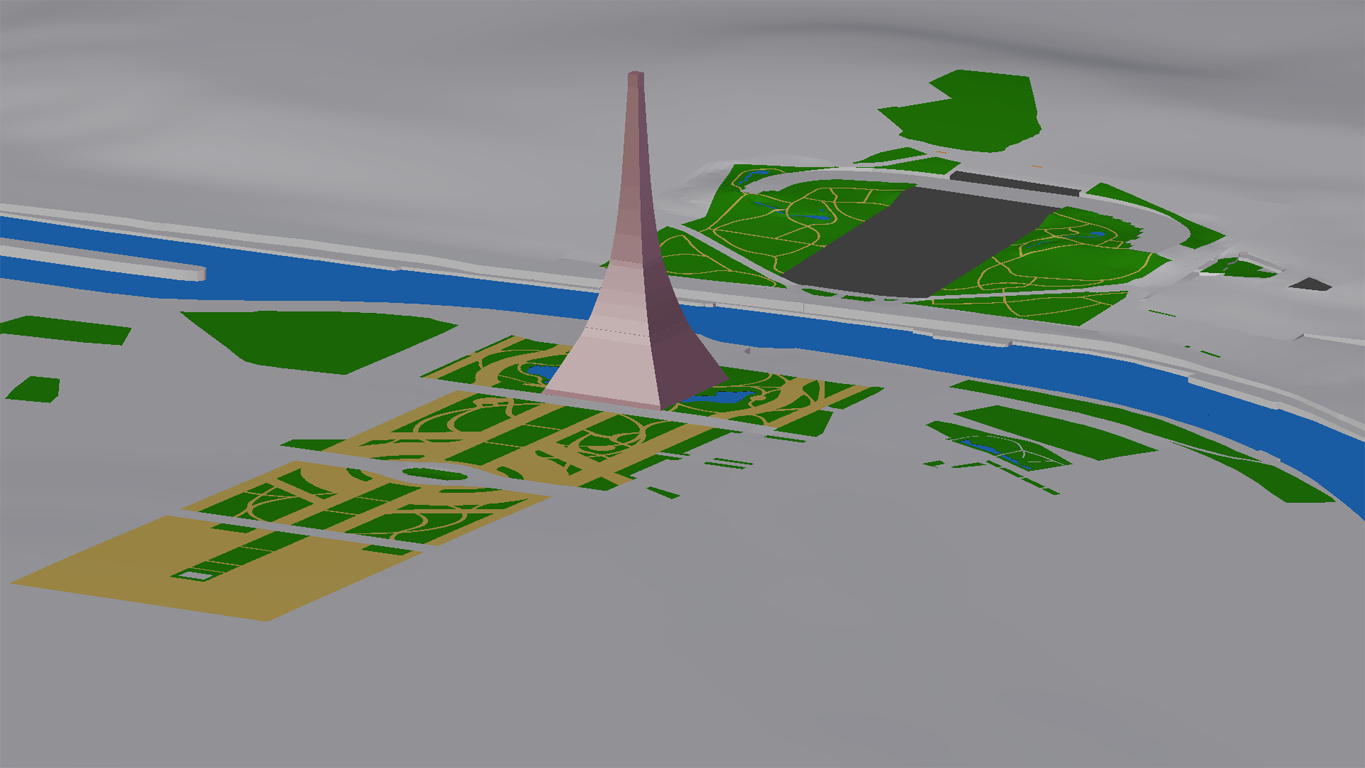
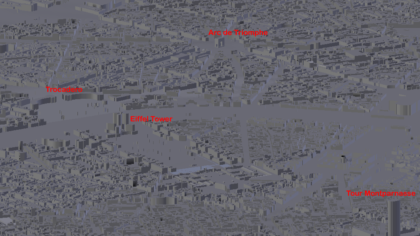
Some internet resource inspired me to the next steps: a 3D model of Paris for free download, probably created by the use of OpenStreetmap data:

(There's a Blender addon importing OSM data, but unfortunately I didn't get it working...)
Of course the buildings are rather schematized and do not fit as a rendering background, but I thought they could be quite useful resource anyway. So I integrated them in my landscape. Only problem: Paris is projected on a flat plane here; there's no elevation included. But I got the problem solved by at the same time discovering two really useful addons (by the way: Thank you guys for writing those lots of wonderful addons. You made me become a Blender addict for sure!).
That's how I did it:
- Lifted Paris OSM some 100 meters above my terrain
- Separating by loose parts indeed didn't give me single houses, but at least single city blocks (Edit: I guess I did it wrong by once removing doubles to save disk space. Original data should have defined single houses as well)
- An addon called "Easy align" helped me to set each object's origin to its ground (hundreds of city blocks with one mouse click - wonderful!)
- Another Addon called "Drop to Ground" placed each city block with its origin onto my surface
- Because the city blocks get rotated dropping to the surface there's one last step: Select all, keep one active, right mouse click to Transformation/Rotation: Reset all to default, another right mouse click there: Copy all to selected. That's it! (Edit: For 2.79 version the addon includes an option called "Align to Ground". Unchecking would have done the job as well.)
Just for clear view I gave the OSM data some intensive magenta material. Result (Montmartre with OSM version of Sacre Coeur):